Background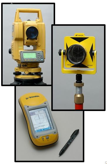
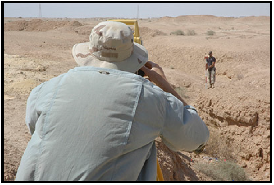
MCX CMAC personnel include archaeologists experienced with the use of technologically advanced archaeological field mapping techniques and Geographic Information Systems (GIS) for post-processing spatial analysis and map generation. These specialists are skilled with the use of satellite Global Positioning System (GPS) receivers and other advanced survey equipment (e.g., total field stations or electronic theodolites for the collection of geo-coordinate data). These capabilities can offer program and field directors a powerful means for day-to-day planning and decision-making.
Services Offered
- Non-invasive remote sensing and subsurface analysis (e.g., ground penetrating radar)
- Technical field mapping services
- Geographic Information System (GIS)
- Production of real-time progress tracking maps
- Spatial analytics of archaeologically recovered remains and objects