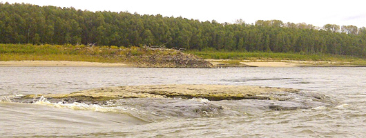
Rock Pinnacles
All navigation interests are advised that special purpose electronic chart overlays for rock pinnacles that are obstructing a 9-foot navigation channel between Upper Mississippi River miles 46 & 38 have been posted to the USACE Army Geospatial Center website.
The special purpose overlay files are referenced to the Thebes gage, located at mile 43.7 UMR, and the appropriate overlay file should be selected that relates to the reading of the Thebes gage or lower. A separate file is available for a Thebes gage reading of 7, 6, 5, 4, 3, 2, 1, and 0-ft on the gage. For example, the overlay file for a Thebes gage reading of 5 will show rock pinnacle locations that will be hazardous for 9-ft navigation at the Thebes gage reading between 5.9 and 5.0-ft.
S-57 overlay files have also been created for buoy locations for the Thebes reach. These locations are constantly changing with the stages on the river therefore they are intended to be used for reference and not as navigation guides.
All of the overlay files are in S-57 format and should be readable by most commerical electronic navigation software. The special purpose overlay files are available at the IENC Downloads page under the "Special Purpose S-57 Channel Condition Overlays" section. *Note: Once on this page please select "Special Purpose Channel Condition Overlays", this will expand to show all of the available overlay files.